- Home
- Listings
- Things To See & Do
- Car Hire
- News
- Properties
- What’s On
ES
Vereda de la Estrella
Vereda de la Estrella
Explore the enchanting Vereda de la Estrella trail in Granada, a hidden gem amidst the Sierra Nevada’s natural splendor. Immerse yourself in breathtaking landscapes, from rugged mountains to serene streams, as you hike along this picturesque route. Experience the harmony of nature’s wonders and invigorating outdoor adventure, making it an ideal destination for both casual strollers and avid trekkers. Discover the heart of Andalusia on this renowned trail, promising an unforgettable journey through Spain’s scenic beauty. Plan your escape to Vereda de la Estrella for a truly transformative hiking experience
Distance: 20,73 km
Positive elevation gain: 1168
Maximun height: 1816
Duration: 6 hours
Difficulty: Moderate
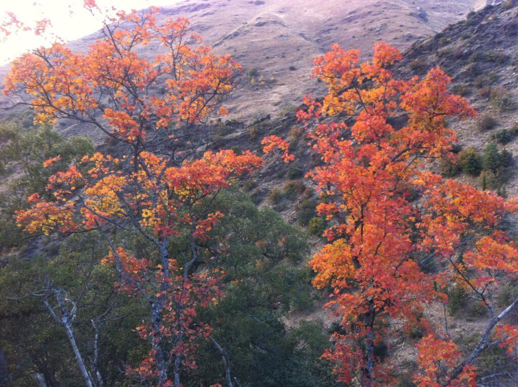
The Vereda de la Estrella is considered the most exceptional trail in the entire Sierra Nevada, providing access to the highest peaks of this mountain range (and the Iberian Peninsula, let’s not forget) through its most rugged slopes. We find ourselves in one of the wildest and most beautiful places in all of Spain. Every bend in this path is a surprise. The best time for such an excursion would be in autumn, as the range of colors one can encounter on the journey is the most varied.
The Vereda de la Estrella takes its name from the ancient mines located in the valley of the Genil River, which we will pass by on our route. Mining activity in the upper Genil basin dates back to the times of the Phoenicians and Romans. The Moors also exploited deposits of iron, copper, and serpentine, and during the Nasrid period, a multitude of captives sifted the waters of the Genil in search of particles of gold. Legend has it that it was converted slaves who, with the gold found in Cerro del Sol in Cenes, forged a crown for the king of the Alhambra.
The starting point of this route is the Barranco de San Juan, beginning the journey right at the confluence of the Genil River with the San Juan Creek (1160 m), which also marks the boundary of the Sierra Nevada National Park. We cross the Genil River via the Puente del Caracol, a small wooden bridge that places us at the start of a well-marked path that ascends through the grove for about 200 meters, until a point where the slope levels out, and the path becomes nearly flat.
Right from the start, we observe how splendid nature displays itself in these parts: ash trees, chestnuts, oaks, holm oaks, oaks, and maples are the most representative trees. The trail is well defined and leaves no doubts about its route. It runs along north-facing slopes where the sun’s rays do not directly reach until noon. This leads to the proliferation of moss, climbing ivy, and ferns at the edges.
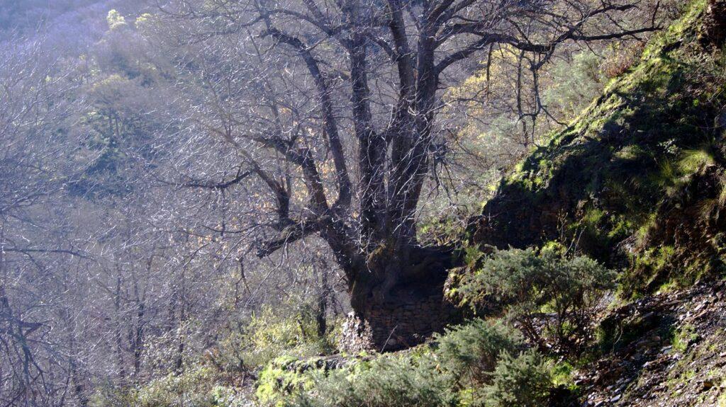
Half an hour from the Barranco de San Juan, the trail passes by a photogenic centennial chestnut tree, with an immense and twisted trunk known as “El abuelo” ( the grandfather), famous among mountaineers and locals alike. It’s a good time to take a break in the shade of its foliage.
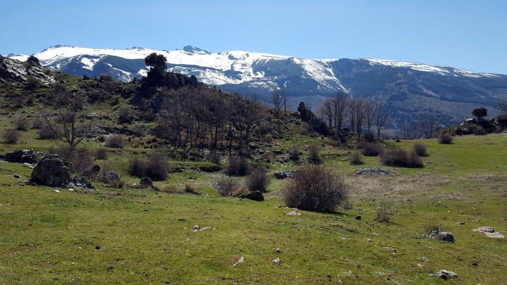
The trail winds gently through the shaded side of the San Juan ridge, while the opposite slope faces the morning sun. Half an hour from the grand chestnut tree, we reach the confluence of the Vadillo River with the Genil. A bit further up, we come to a crossroads, the Mirador del Vadillo or Cruce de Peña Partida, where the Vereda de la Estrella continues to the right, but we take the left path that descends to the Genil River, crossing it via the Puente de los Burros in a spectacular setting, and then ascending the Loma del Calvario. This ascent is known as the Cuesta de los Presidiarios, named for its use in transporting prisoners towards Almería for galley service. This trail ascends continuously among pines, cypresses, and other exotic conifers, leading us to an incredible natural viewpoint that suddenly reveals the sublime heights of Sierra Nevada – Veleta, Barranco del Guarnón, Cerro de los Machos, Mulhacén, Alcazaba. All of them displaying their steep and beautiful north face, an image that will remain indelible in our memory.
From this point, we will quickly arrive at the Forest Barracón of Calvario, also known as the Refuge of the “Cucaracha”. This refuge is another fantastic top-notch viewpoint towards the aforementioned three-thousanders, and serves as an idyllic accommodation.
Continuing on our route, we will reach the Aceral Refuge, another incredible viewpoint, next to the Aceral Ravine that we will cross to complete the ascent through a small forest of white pines to the highest point of our route (1816m), leaving the Aceral waterfall to our right, and continuing our trail in a beautiful stretch that almost hangs alongside an impressive abyss formed by the Río Real here (the Genil River is called so from the confluence with the Guarnón Brook). The views remain astonishing: the great peaks of the headwaters of the Genil. From left to right, Vacares River Basin, Cumbre and Espolón de la Alcazaba, Valdecasillas River, Mosca and Mulhacén markets, Casillas and Juego Bolos ridge, Valdeinfiernos River, Laguna Larga Market, and Puntal de la Caldera. To the right, Crestones de Río Seco, and in front of us, Loma de Lanchar.
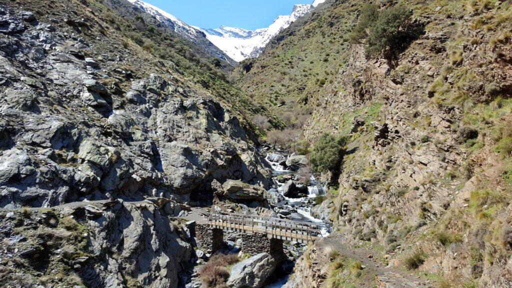
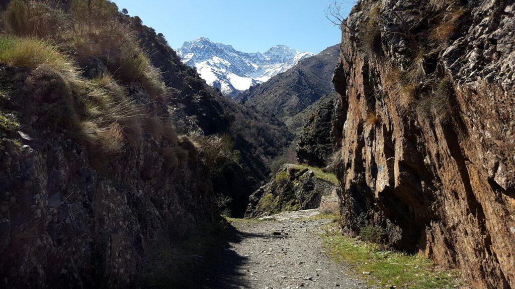
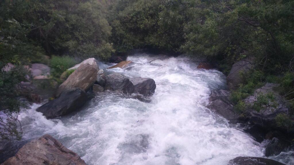
We are already beginning to see the Majá el Palo, the farthest point of this route, which is the confluence of the Lucía, Valdecasillas, and Valdeinfernos streams, with their respective ravines. We begin the descent, not before enjoying the sight of the waterfall where the Valdecasillas Brook plummets in a 40-meter drop in front of us. We descend alongside the Lucía Ravine until we reach the Majá el Palo, where we cross the Real River on large stones, being especially careful not to slip and experience the icy temperature that these waters provide.
We start the descent along the Vereda de la Estrella, and after contemplating several waterfalls along our path, we pass by the Mines of Justice (abandoned) until we reach another of the most enchanting spots on this route, the Guarnón Ravine, whose stream we cross via a beautiful wooden bridge. This ravine descends from the Corrales del Veleta in a descent that seems to have no end, and we find ourselves at its confluence with the Genil River. A grand corner that makes you feel insignificant.
We ascend a bit until we reach the Mines of the Estrella, also abandoned and to which we owe the name of this trail. Later on, we pass by the Probadora mines, which were used until the late 50s, and then we reach a curve called “El Viso”. Until this curve, the majestic image of the Alcazaba always accompanies us in our descent. From here, we stop contemplating the peaks of the three-thousanders and only have to reach the Mirador del Vadillo, a crossroads where we previously deviated to climb the Cuesta de los Presidiarios, and from this point, complete our route on the already walked path until we reach the Barranco de San Juan, the starting point of this magnificent route.
