- Home
- Business Directory
- Things To See & Do
- Car Hire
- News
- Properties
- Event Guide
ES
Acequia La Solana Circular
Acequia La Solana - Río Coto y Río Maitena - Canal de la Viña - Tranvía de la Sierra
Distance: 13,49 km
Positive elevation gain: 485 m
Maximum height: 1,252 m
Duration: 4 hours and 49 minutes
Difficulty: Easy (not suitable if you are bothered by heights)
The trail
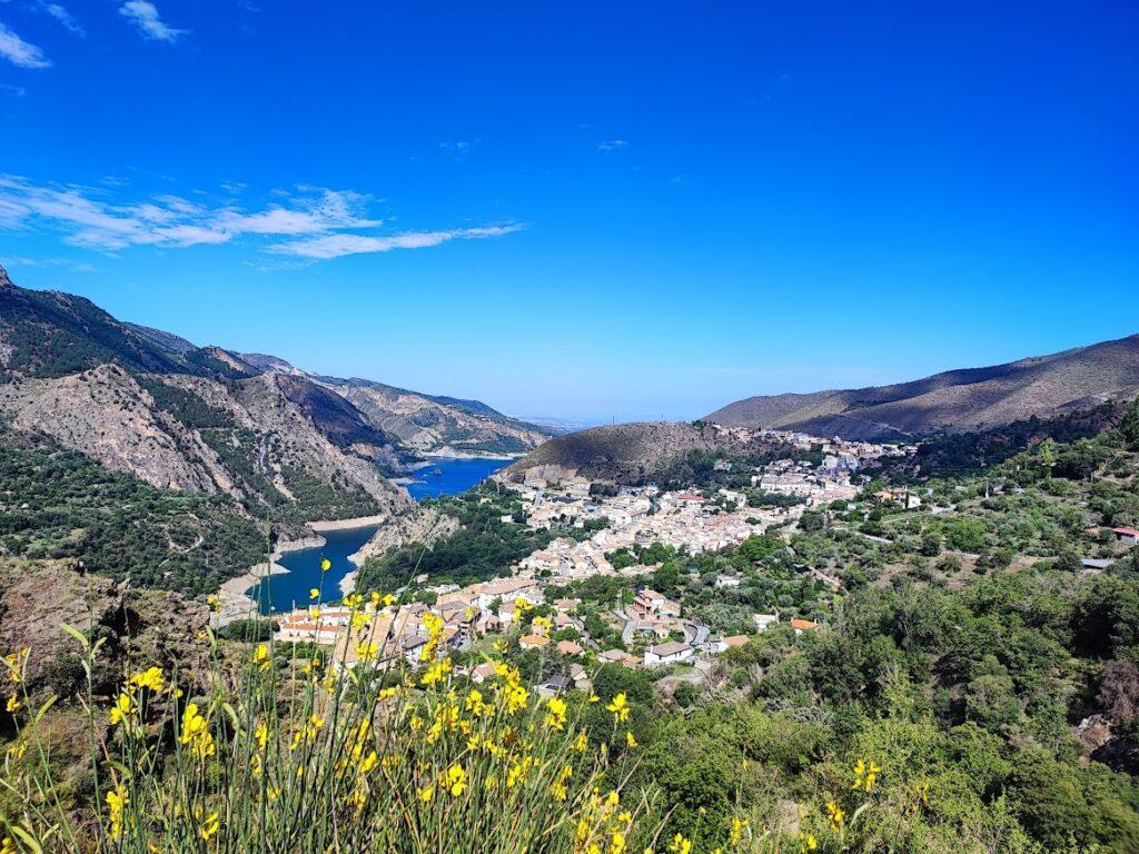
The route is one of the most beautiful that can be undertaken, being a very little-known trail, and accompanied almost constantly by the sound of water. To start it, we head to Guejar Sierra and park near its sports pavilion, which is located on the first street to the right at the entrance of the town. There is a large parking area here.
We will begin our ascent, strolling through the streets of the village, observing and photographing the countless fountains that will accompany us along the way.
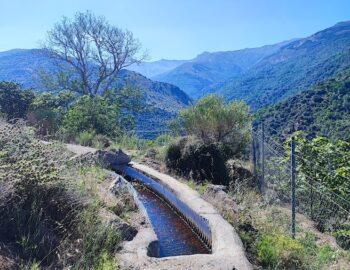
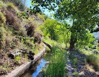
Once we reach the Fuente de los Dieciséis Caños, to our right we start to see our companion for the day, which is the Acequia de la Solana) Solana Irrigation Canal . The construction of this canal dates back to the early 19th century and carries water from the Maitena River to Guejar Sierra. We will walk along it for about seven kilometers. In some places, it is covered, which makes it easier to follow, as we walk on top of it, while in others, it is open, which is the case most of the time. It is true that we must be extremely careful and proceed with caution, as for a significant portion of the route, the canal is at a considerable height, and a fall could be fatal.
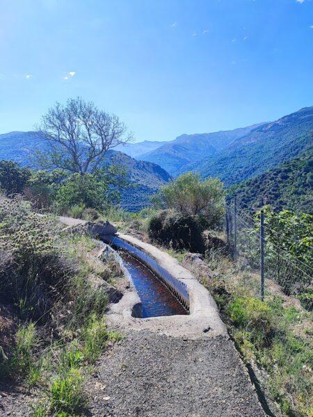
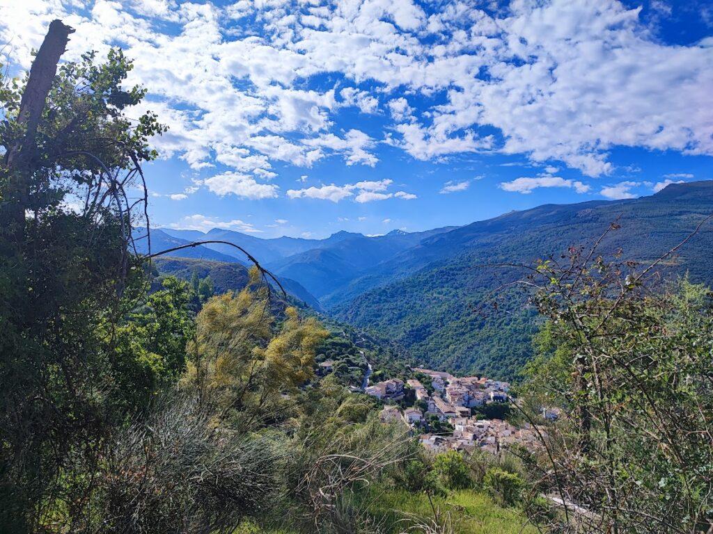
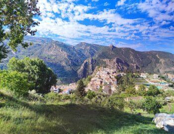
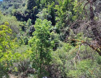
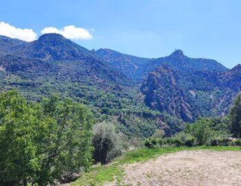
The colors of the route are spectacular, and the views are unimaginable. We are accompanied on the way by various trees such as figs, mulberries, chestnuts, oaks, cherries, holm oaks, and countless fruit trees from the orchards.
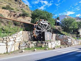
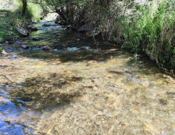
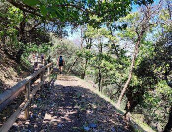
Once at the Mill of El Coto, we have to cross the river to take the path that goes along the opposite bank. We then follow a well-marked path protected by wooden railings.
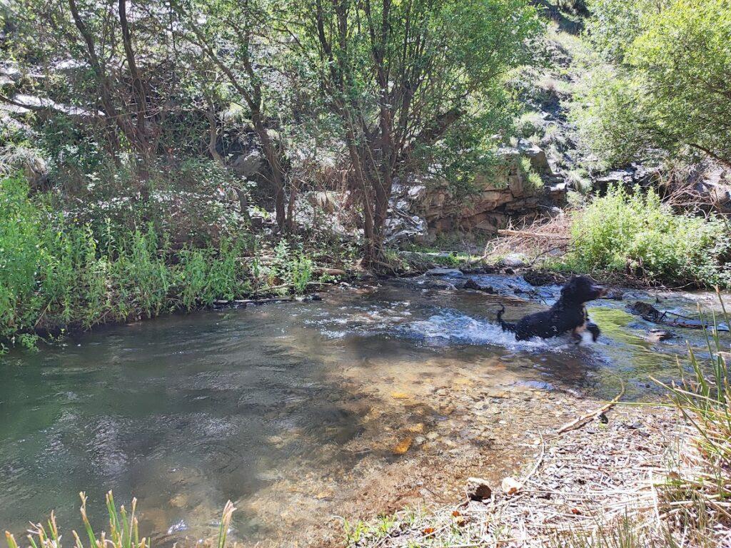
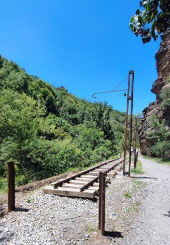
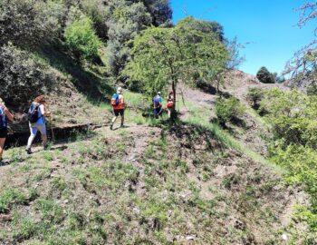
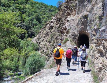
We leave the path to descend towards the Maitena River. Once at the restaurant area, we take the greenway of the tram to the tail of the reservoir, from where we ascend back to the starting point, Güéjar-Sierra.
The Sierra Nevada tram was a project promoted by the Duke of San Pedro de Galantino in 1919, which connected Granada with Sierra Nevada for 50 years. Among all the trams, it was the most emblematic, pioneering mountain railways. Its route was very rugged, crossing more than 20 bridges, open tunnels in rock, running along the edge of steep slopes… The tram passed through landscapes of Cenes de la Vega, Pinos Genil, Tajo de las Palomas, La Cueva del Diablo, El Púlpito de Canales, La Cueva del Agua, El Túnel de Alcuza, Güejar Sierra, and the stations of Maitena and El Charcón. The last journey of the Sierra Nevada tram was on January 19, 1974.
