- Home
- Listings
- Things To See & Do
- Car Hire
- News
- Properties
- What’s On
ES
Las Mimbres
Las mimbres and Acequia del Fardes loop trail
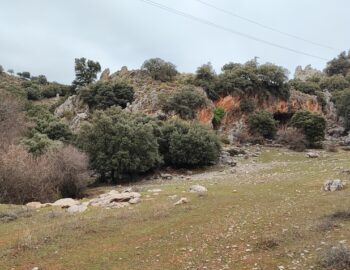
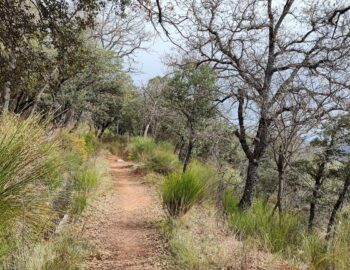
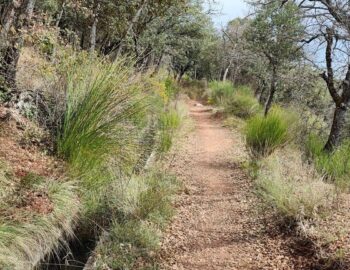
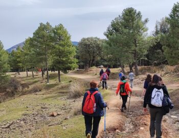
To undertake this route, where you venture into the Sierra de Huetor, you can park in the Las Mimbres area, next to the Fuente de los Potros. The brilliant Andalusian culture left, among many other legacies, an excellent network of irrigation channels. Even today they run through the slopes of this mountain range and irrigate the crops of the Vega de Granada. This trail runs parallel to the Acequia del Fardes, which from the Fuente Grande de Sierra Harana reaches to pour its waters into the fields of Cogollos-Vega. Along its path, the irrigation channel crosses one of the most interesting plant formations of this natural area, an oak-holm oak forest speckled with maples that climb the slope of Sierra Harana, taking advantage of the greater freshness of this area of the park. It is a Mediterranean forest typical of humid regions, where deciduous trees such as holm oak or maple can survive.
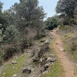
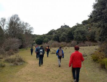
You can start the route from the parking lot of the Recreational Area Fuente de los Potros. From there, follow the trail, which is well marked.
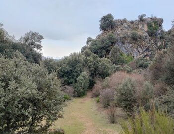
Continue descending, always keeping next to the stream until you reach a poplar grove. At this point, leave the track and head north, towards the Arroyo de Prado Negro, which you will hear nearby to your right. Then ascend along a path that is sometimes difficult to make out, until you reach the Llanos del Despeñadero, next to some cliffs, and at the end of which you will see the ruins of the Cortijo del Despeñadero. Next to the stream that you cross by a bridge is the Fuente or Pilarcillo de Manolo el del Molinillo, named in honour of the venerated healer of that name who lived in a nearby wooden shack who turned the Venta del Molinillo into a pilgrimage centre for the sick during the last decades of the 20th century. Locals came to this fountain to drink from its waters in the belief that it had miraculous curative properties.
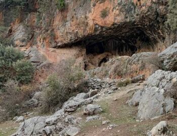
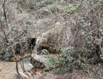
Follow the path past two caves, then change sides and, after crossing another bridge over the stream, head down the path towards the Cascadas de Prado Negro.
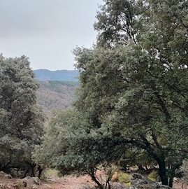
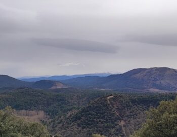
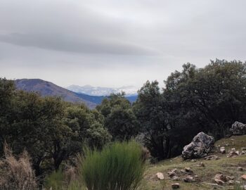
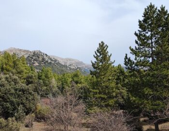
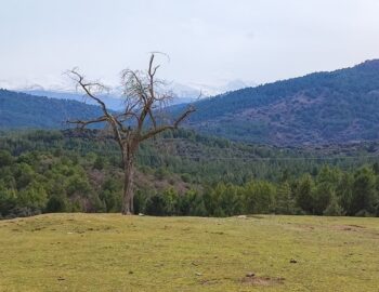
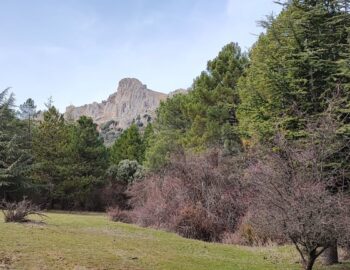
Proceed through the pine forestsand towards the Acequia del Fardes. Follow the channel for about two kilometers. Above you will see the imposing Tajo de los Halcones and Majalijar, while in the distance to the south you will have a superb view of the Sierra Nevada with its three thousand meters high peaks.
At the end of the irrigation channel, is the meadows of the Cortijo de las Chorreras which offers impressive views.
Finally continue through pine forests to return to the starting point.
Distance: 8 km
Positive elevation gain: 269 m
Maximum height: 1418m
Duration: 3 hours
Difficulty: Easy
How to get there
To begin the route, take the A-92 towards Guadix, take exit number 269 towards Las Mimbres and Prado Negro.

